
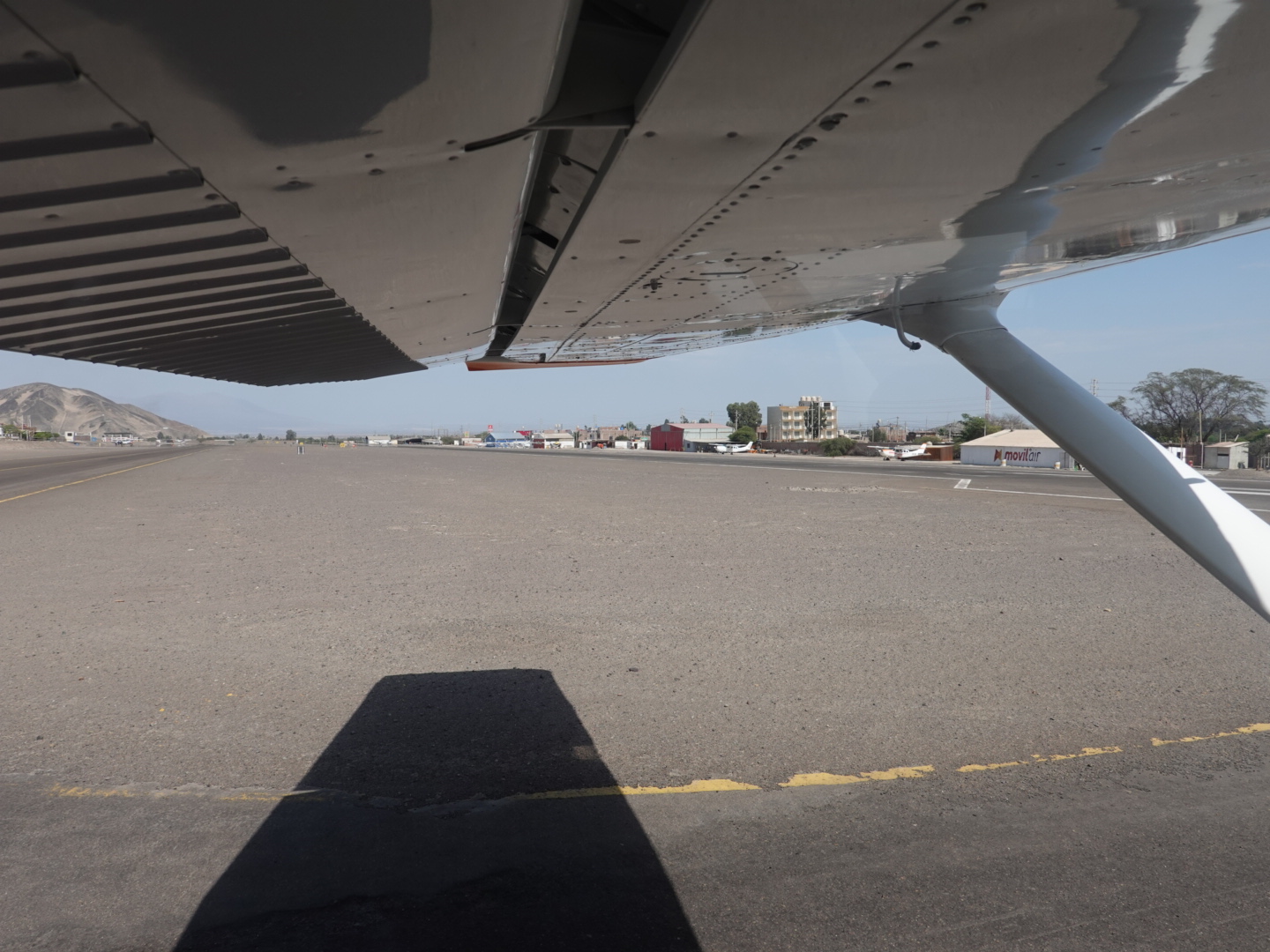
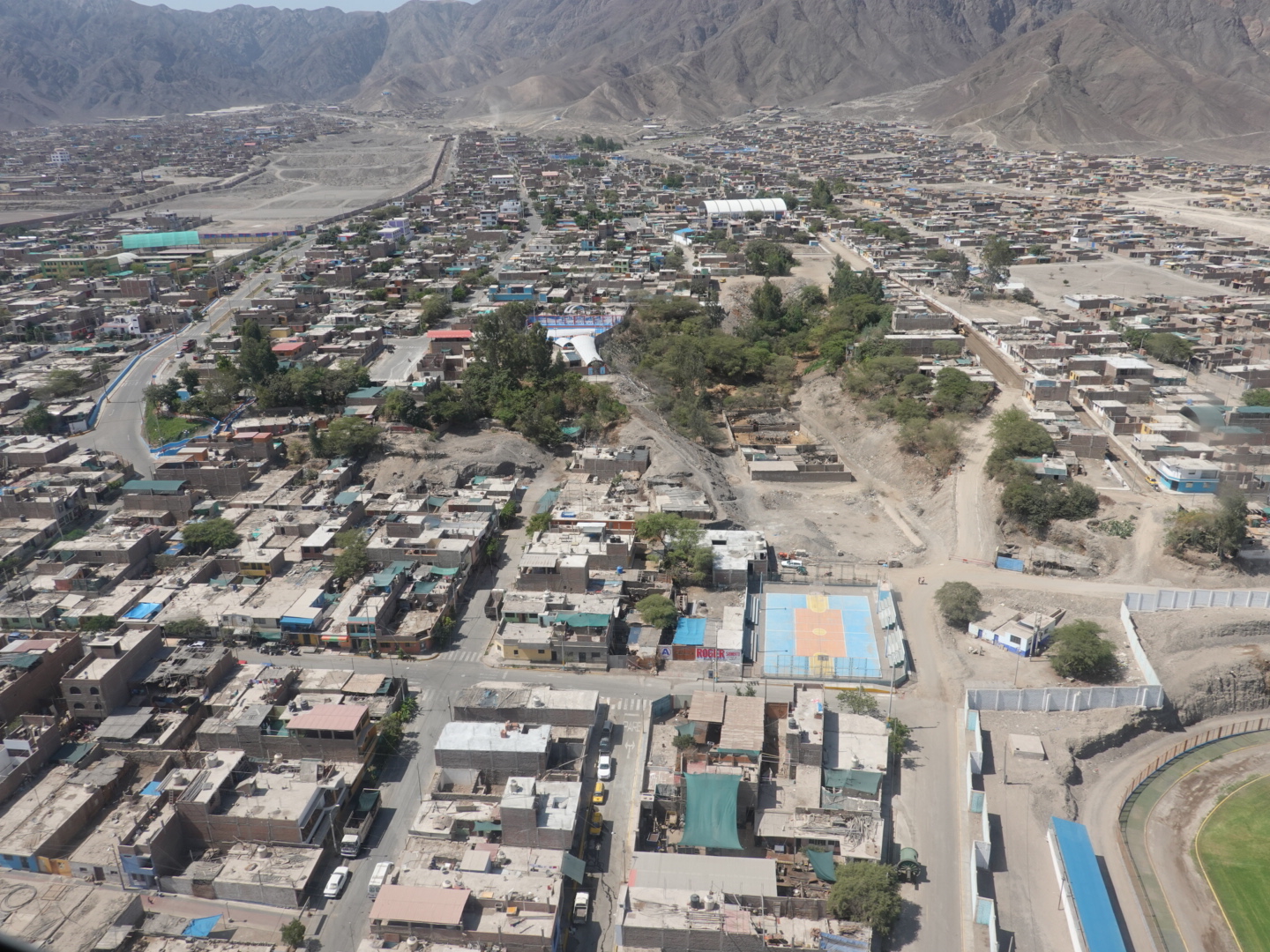
Today started out with a flight over the Nazca Lines. It was a perfect morning for it… clear skies with a light breeze. I suspect most of you are familiar with the Nazca Lines, but if not, they are the famed ‘geoglyphs’ (a world heritage site) created by natives in the desert near the city of Nazca in the period between 500BC and 500 AD by people people making removing stones to create lines depicting everything from monkey’s, to human figures, to hummingbirds on a grand scale (thousands of feet). Most people think they were they created for the gods to see, but no one knows for sure
The only real way to see them is to get in an airplane and fly over them, which is what I did. Suffice it to say that I wasn’t disappointed. I have no photo’s to share, as none that I took turned out too well, but here’s a good site I found if you’re interested (i.e. https://www.thetravel.com/photos-of-perus-nazca-lines-that-science-still-cant-explain/)
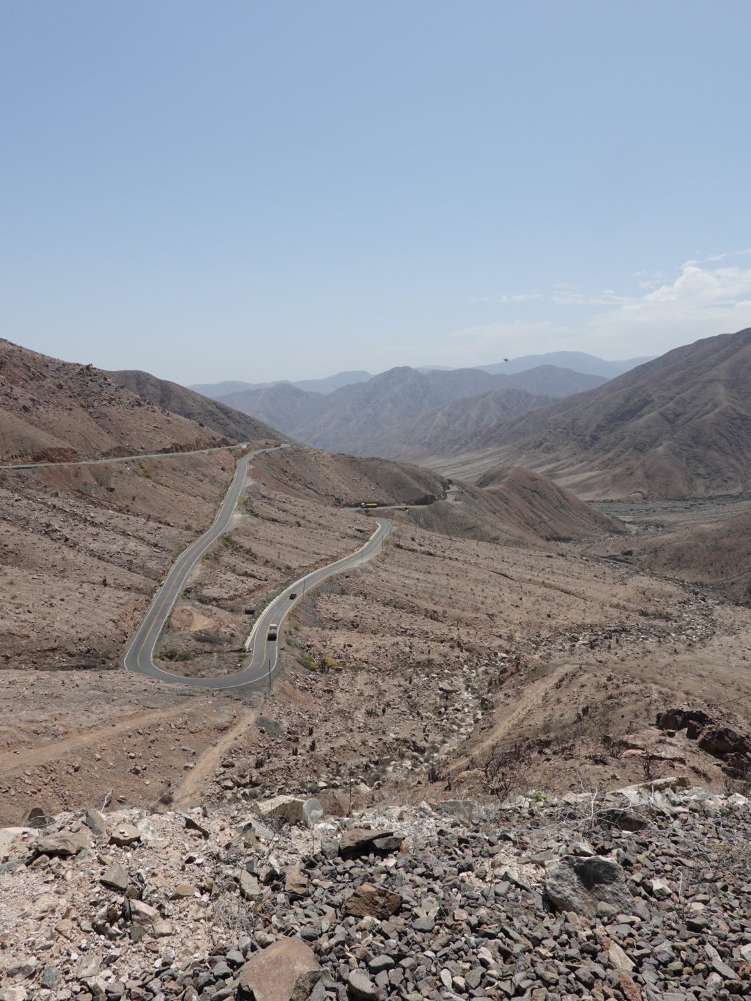
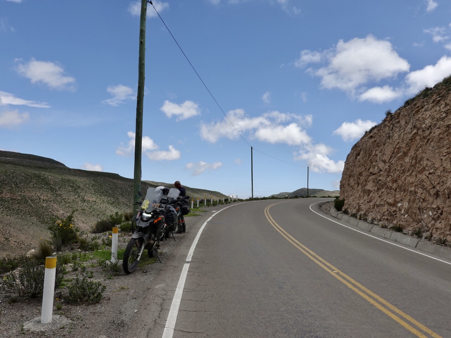
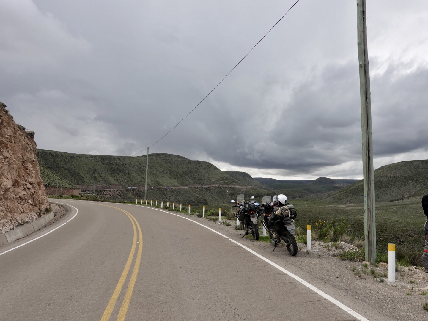
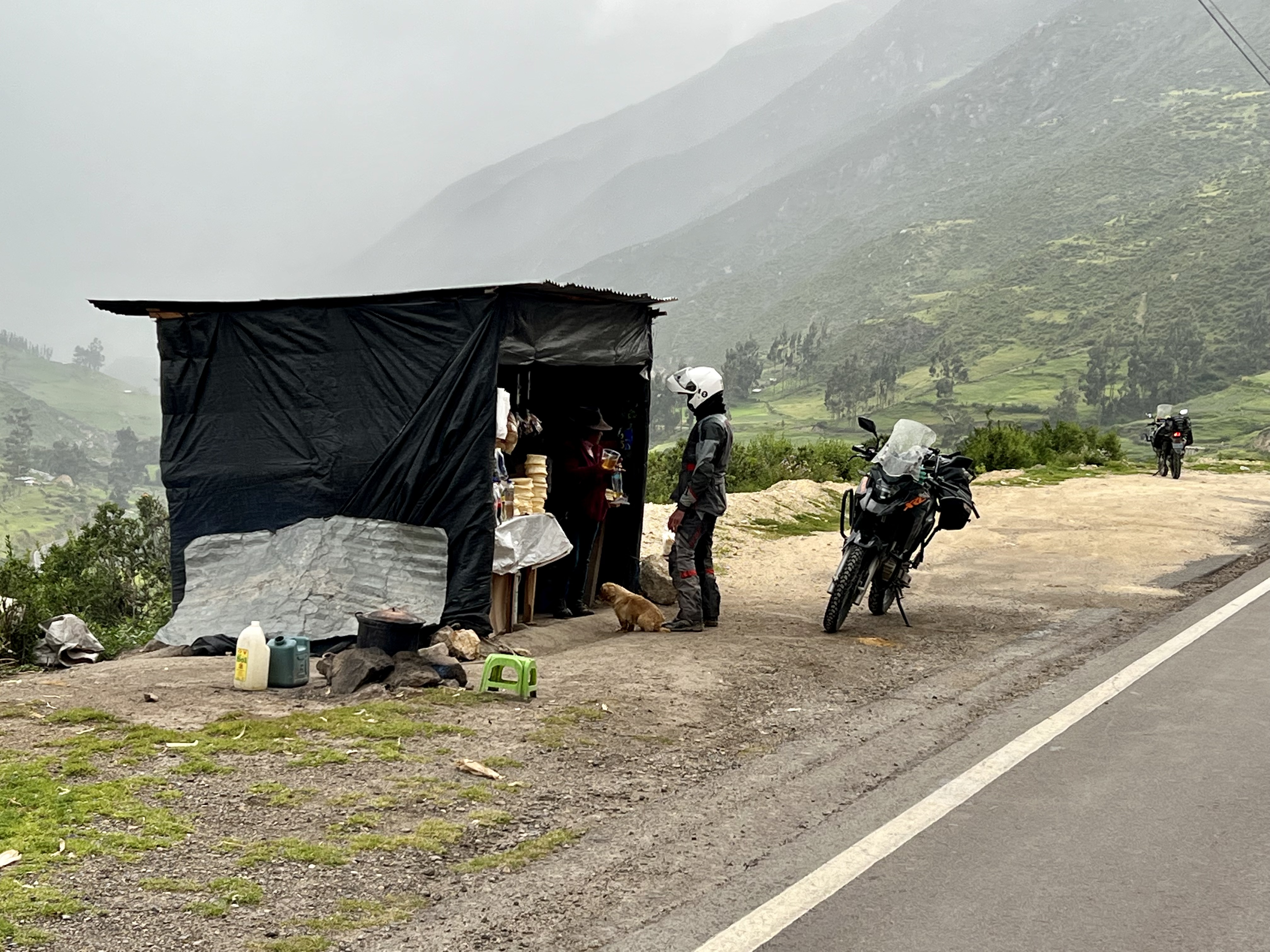
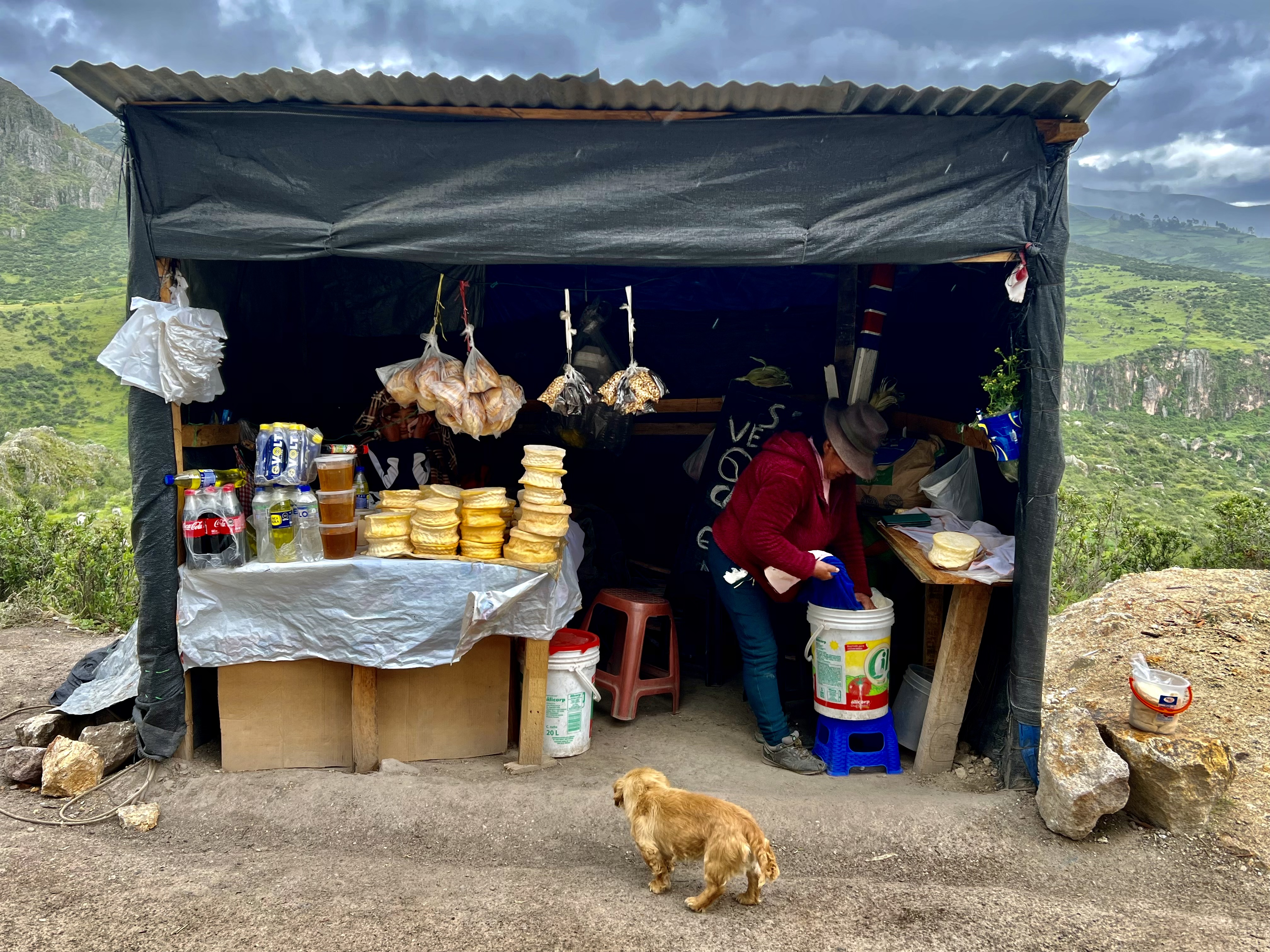
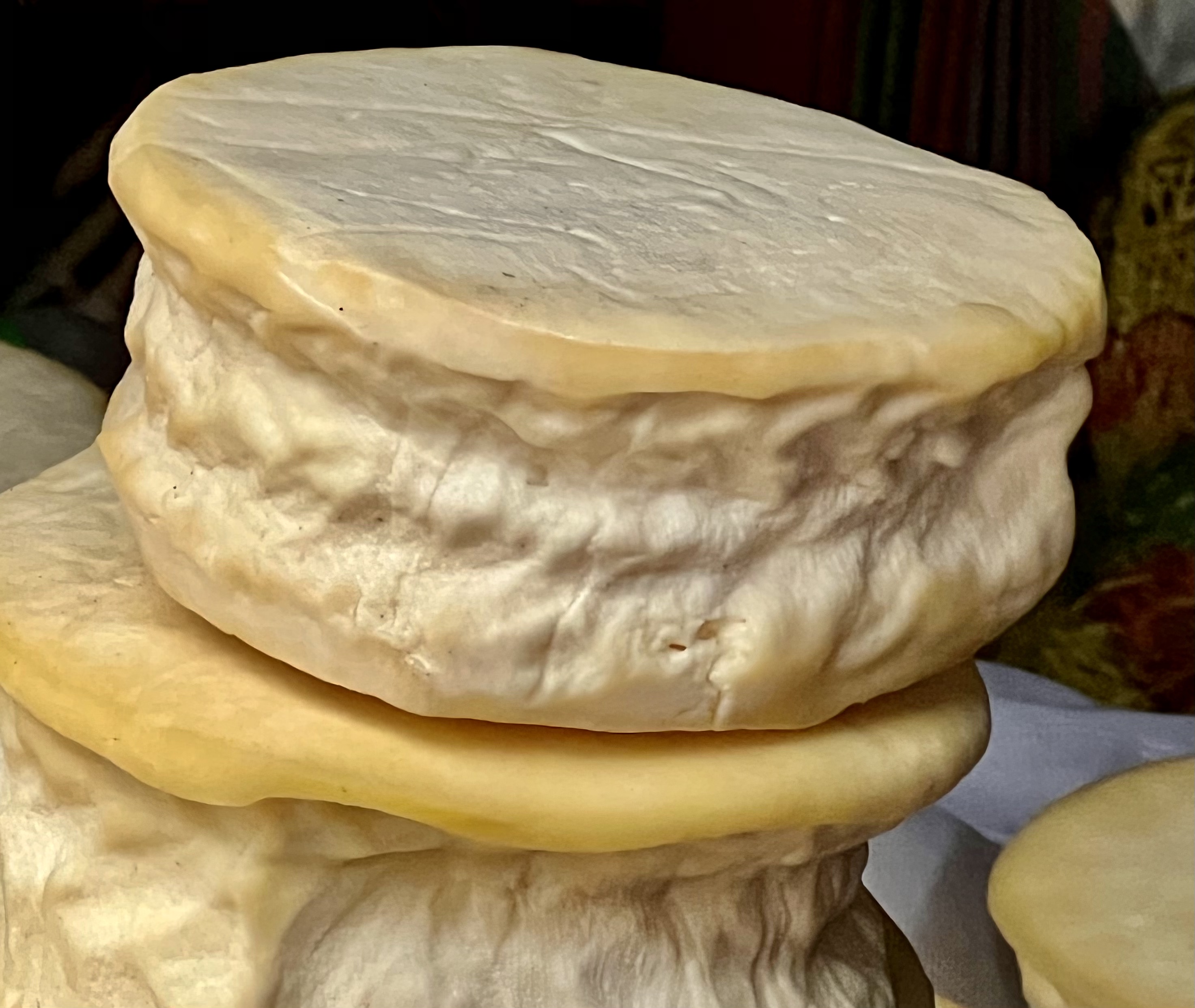
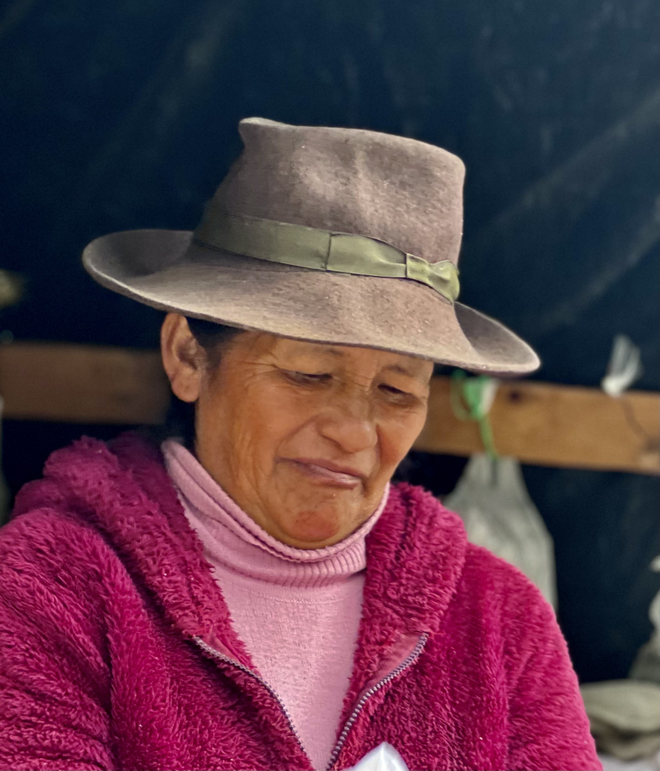
By the time I got back to the hotel, it was around 11:00. We quickly packed up and headed East back up into the mountains. It didn’t take long before we found ourselves back up at 13,000 plus feet. It felt great to be at altitude again… right up until it started raining. At one point, I took two photo’s of us parked on the side of the road from opposite directions that marked the transition (see in first set below). Facing west, it was clear blue skies, while facing east, it was dark clouds with thunder and lightening. We experienced the first down pour on our ascent to the high point of the day, but it didn’t last more than 10 minutes or so, (Shortly after, we stopped at the roadside stand you’ll see featured in the second set of photo’s below.). The second down pour was more severe and it went on for a good hour or so. We lasted for about 30 minutes in it until we found refuge at a restaurant in a small town we passed through. They were serving a ‘prefix’ meal consisting of a beef broth soup with posole and a main course of fried plantains, fried eggs and rice. We were mostly happy to be dry, but the food tasted pretty good too. Once back on the road we only rode another 45 minutes or so to the small city of Puquio (‘pook-i-O) where I am currently composing this entry.
Our goal over the next couple of days is to make our way to the city of Cotahuasi, which sounds like a beautiful town and is located near what is reportedly the deepest canyon in the world. That said, we are once again confronting the humbling realization of the time it takes to make progress in the mountains here and so we’ll see how far we get tomorrow
From Claudio
Shawl
We rush by looking for the next horizon, the next climb, vista, covering ground to reach a destination that will become a departure. I’m in awe at the utter quietude of life at this height. The only motion now comes from a woman with a load of firewood equal to her weight on her back; she places one foot in front of the other marking the time of granite. A cold rain, like a sacramental shawl, drapes everything
Places & People
This is the roadside stand we encountered where Claudio bought cheese and honey


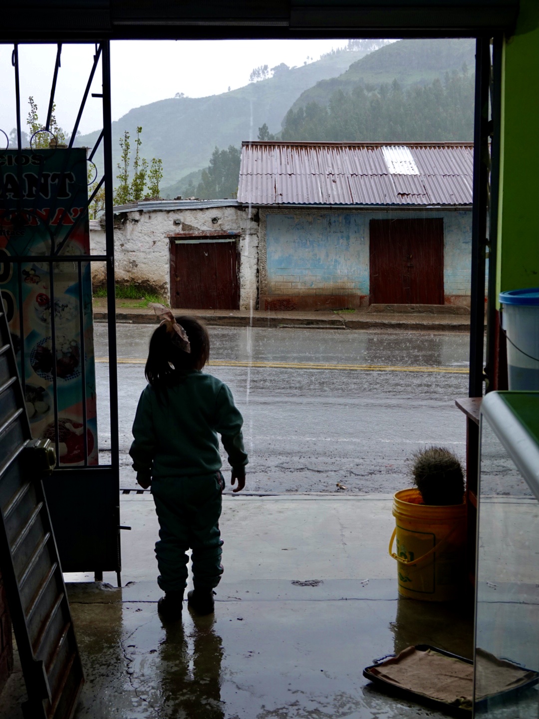
The shot of small girl with hair tie looking into the rained on world outside her shelter makes such a story…. It’s both small and not small what she takes in…
LikeLike
I agree! Thanks for keeping up with our journey. Say ‘Hey’ to Jim for me.
LikeLike
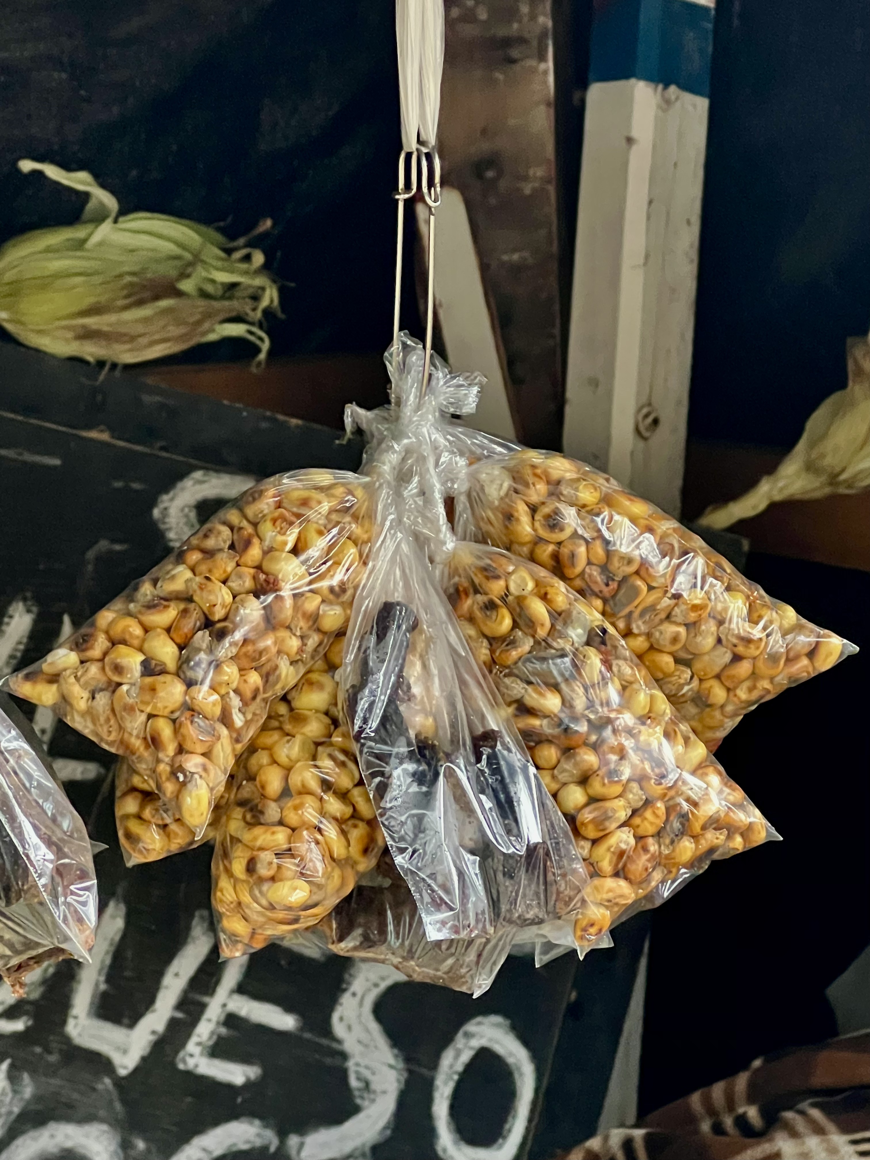
I see Corn Nuts, Peruvian Corn Nuts, my fav. You boys look like you’re having fun! How’s the spanish, can you get a word in edgewise. Your video of weaving in and out of Lima traffic made my stomach churn. I’ll take your word that it’s safer than here. Miss you. Love the daily journaling, thanks for a daily side to my coffee hour.
LikeLike
Hey… thanks for following along. Seems like the Lima Video was a real hit :). Really wasn’t as bad as it looked in the video. The key is never stop moving. We’re having quite the time. Hard to believe there’s only a week left. Hope all is well with you. All my best to Phil and Lucy.
LikeLike